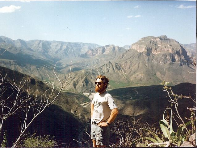
Cam Honan | Overlooking Batopilas Canyon, 1995
Distance : 38km approx.
Avg.Time : 2 days
Start / Finish : Batopilas
Season :
- October to March.
- October/November are the best months for hiking in the Copper Canyon region. Coming immediately after the rainy season (June to September), the creeks generally have water and the temperatures are neither too hot, nor too cold.
Maps / Info :
- Las Barrancas del Cobre or Copper Canyon region, is a system of six canyons (one of which is the Copper Canyon itself) situated in the northern Mexican state of Chihuahua. Significantly larger in area than the Grand Canyon, the region has been inhabited for centuries by the Tarahumaras (or Raramuris), an extraordinary people known for their indefatigable ability to run long distances.
- An article titled A People Apart, which appeared in the November, 2008 edition of National Geographic Magazine, gives an excellent overview of the social, economic and environmental challenges facing the Tarahumaras.
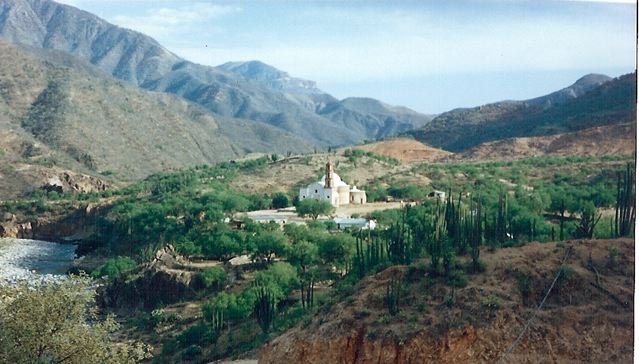
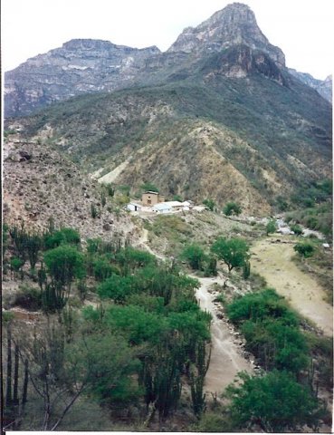
Satevo Mission
- If you are hiking extensively in the Copper Canyon region, I recommend buying John Fayhee’s, Mexico’s Copper Canyon Country (1994 2nd Edition). Not so much a guidebook as it is a travelogue, I found it to be well written, informative, often humorous, and most importantly for independent hikers, has useful topographic map references for much of the region. In the 1990s, Fayhee’s book was the only detailed source of hiking information available on the Copper Canyon region. From what I have seen during my research for this website (2010), not much has changed in subsequent years.
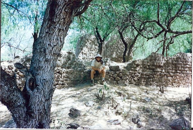
Taking a load off in the village of “Australia” (seriously).
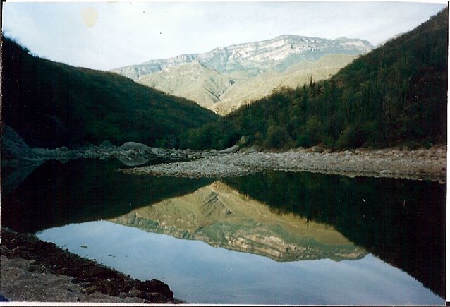
Morning reflections
- The entire Batopilas to Munerachi route is covered on the INEGI 1:50,000 Batopilas G13A41 map. You can usually pick this map up at the Mission store in Creel (on the Plaza), the INEGI office in Chihuahua or order it online at omnimap.com.
- All supplies can be purchased in either Creel or Batopilas.
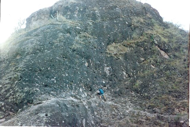
Cliff-hugging Tarahumara “trail.”
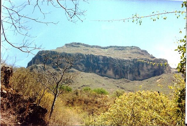
Distinctive butte on the trail to Munerachi.
Route / Conditions :
- One of the easiest routes in the Copper Canyon region.
- The path to Cerro Colorado is like a proverbial highway. Treat yourself to a refresco whilst there, then continue northwards to Munerachi.
- There isn’t much in the way of shade on this trek. Be sure to drink at least 4 litres of water per day. Due to the amount of livestock in the area, all water on this trek should be treated.
- 2015 Update: Since my visit to Munerachi in 1995, a dirt road has replaced the trail between Cerro Colorado and Munerachi.
The village of Munerachi.
Sleeping : Bring your own shelter
Overview :
- A short overnight trip, this out-and-back hike was my first excursion into the Copper Canyon backcountry.
- In 1995, Munerachi was a magical, little-visited village where my friend Michael and I, were afforded wonderful hospitality. Whilst there, we found an old frisbee wedged between some rocks, and subsequently spent a fun-filled afternoon throwing it around with some of the local Tarahumara children. Our group quickly grew from a couple of the more outgoing kids to every single child in the village. Even some of the parents were getting in on the act. Great memories.
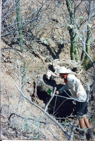
Chatting with locals along the way.