


This might seem a very little detail but if anyone makes a mod that tries to be more geographically accurate it might be helpful.
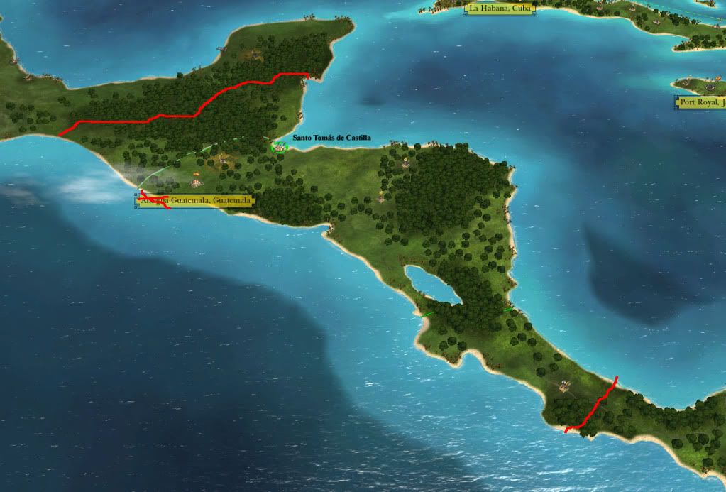
I know the borders all across the game are so-so, not historically accurate; however, if you wanted to better portray the borders of the Capitanía General de Guatemala they would be as in the picture, including parts that now belong to Mexico (but not back then) and Costa Rica.
Also, the names of the towns are wrong. Antigua Guatemala means Old Guatemala, but back then it wasn't old. It should be called just Guatemala or more accurately Santiago de Guatemala. The capital shifted to modern Guatemala after the earthquakes of 1776, then the old city started to be called Antigua.
The port nearby is called Puerto Barrios, that is inaccurate because Barrios ruled until 1871. However here there is a problem because no port existed there in the 18th century. In the next century both Barrios and Santo Tomás de Castilla were founded, IMO the latter name would be more fitting of Guatemala's status as a Spanish colony (and the fact that Barrios wasn't even born in the time period).


 Reply With Quote


